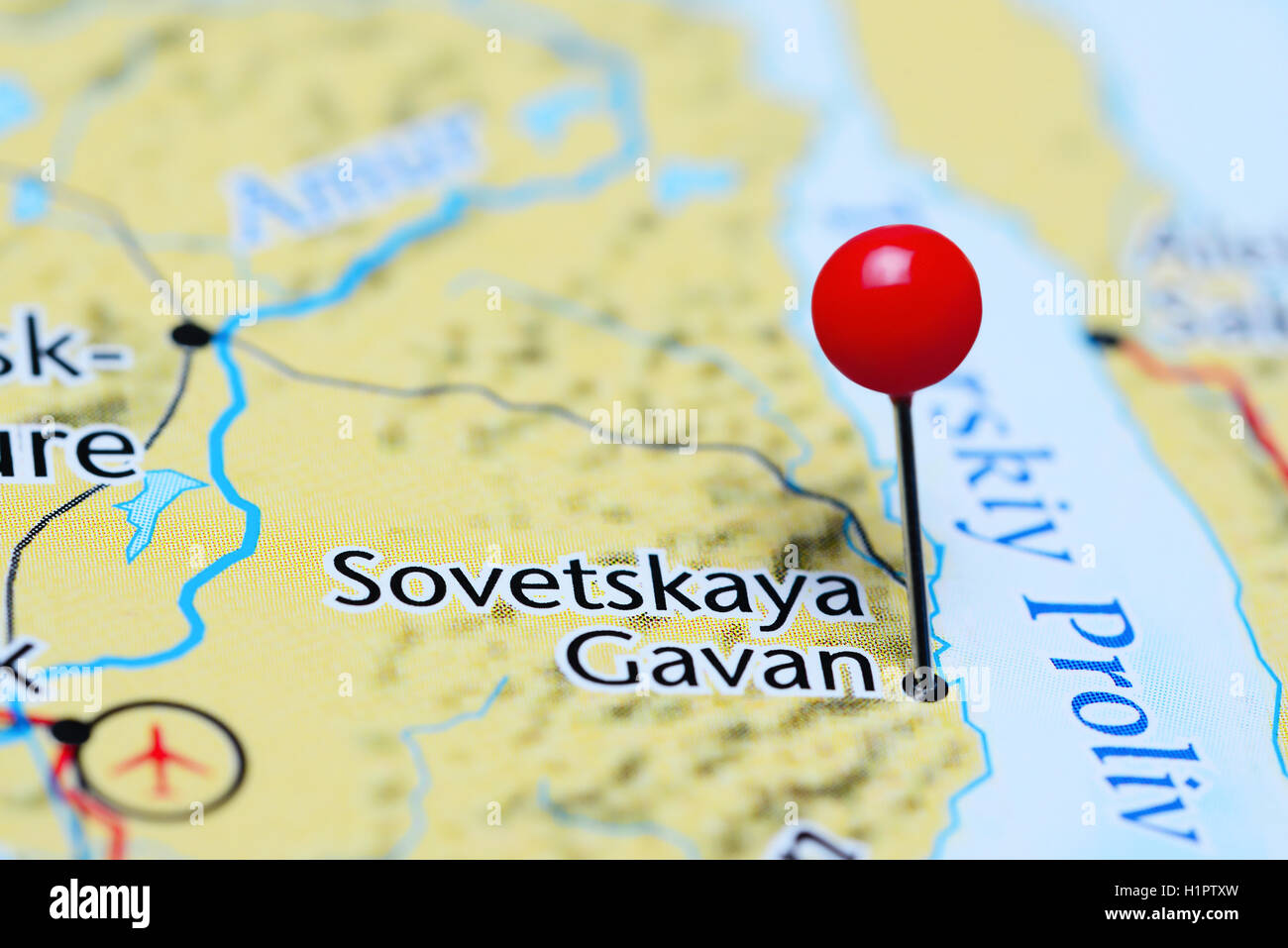
Sovetskaya Gavan (Russian: Сове́тская Га́вань, lit. 'Soviet harbor') is a town in Khabarovsk Krai, Russia, and a port on the Strait of Tartary which connects the Sea of Okhotsk in the north with the Sea of Japan in the south. Population: 27,712 (2010 Census); 30,480 (2002 Census); 34,915 (1989 Soviet census).
It was previously known as Imperatorskaya Gavan (Императорская Гавань, lit. 'Imperial harbour') until 1922.
Name
The name of the town is often informally abbreviated to "Sovgavan" (Совгавань).
History
On May 23, 1853, Lt. Nikolay Konstantinovich Boshnyak of the Russian-American Company ship Nikolay discovered the bay on which Sovetskaya Gavan is located and named it Khadzhi Bay. On August 4, 1853, Captain Gennady Nevelskoy founded a military post named after Admiral Grand Duke Konstantin, and renamed the bay to Imperatorskaya Gavan ('Emperor's Harbor' or 'Port Imperial'). The bay was also known to the English as Barracouta Harbour. Nikolay Boshnyak was appointed the commander of the post, which became the first Russian settlement in the area, and the predecessor of today's Sovetskaya Gavan.
After the abandonment of the military post before 1900, the area became a center for timber production, including concessions to companies from other countries such as Canada.
The bay and the settlement were renamed Sovetskaya Gavan in 1922.
During World War II, construction was begun on a railway from the right bank of the Amur River near Komsomolsk-on-Amur to the Pacific coast, with Sovetskaya Gavan chosen as the endpoint. Sovetskaya Gavan was granted town status in 1941; the railway reached the town in 1945. This section of railway was the first section to be completed of what would later become the Baikal-Amur Mainline.
From 1950 until 1954, the town was the site of the prison camp Ulminlag of the gulag system.
In 1958, the town's northern neighborhood, on the Vanino Bay, was separated into a separate urban-type settlement of Vanino.
In 1963–1964, six sounding rockets of "Kosmos 2"-type were launched. They reached the height of 402 kilometers (250 mi).
Administrative and municipal status
Within the framework of administrative divisions, Sovetskaya Gavan serves as the administrative center of Sovetsko-Gavansky District even though it is not a part of it. As an administrative division, it is incorporated separately as the town of krai significance of Sovetskaya Gavan—an administrative unit with the status equal to that of the districts. As a municipal division, the town of krai significance of Sovetskaya Gavan is incorporated within Sovetsko-Gavansky Municipal District as Sovetskaya Gavan Urban Settlement.
Climate
Sovetskaya Gavan has a humid continental climate (Köppen Dfb). The mild September temperatures caused by seasonal lag keep the climate within the continental range. This also means that among summer months, June is the fourth warmest, in spite of the highest sun strength being reached during that month. Apart from that there is a strong subarctic and Siberian High influence that keeps winters extremely cold for a coastal location at 49 degrees latitude.
Economy
Sovetskaya Gavan's economy is largely dependent on the harbour and related activities; the town has a deep water port for cargo and fishing vessels, as well as ship repair facilities. There is also some foodstuffs production, such as fish processing.
Transportation
In 1973, Vanino-Kholmsk train ferry to the island Sakhalin was opened, joining the mainland at Vanino, 30 kilometers (19 mi) north of Sovetskaya Gavan. Whilst this diminished Sovetskaya Gavan's importance as a trading port, until the 1990s it remained an important supply harbor for the Russian Pacific Fleet.
Sovetskaya Gavan is connected by rail with Komsomolsk-on-Amur, the section of line being the most easterly section of the Baikal-Amur Mainline.
The town is served by Kamenny Ruchey naval airfield (also known as Mongokhto) as well as the May-gatka Airport and Mayskiy Airport airbase .
Sister city
- Everett, Washington, United States
References
Notes
Sources
- Правительство Хабаровского края. Постановление №143-пр от 18 июля 2007 г. «Об утверждении реестра административно-территориальных и территориальных единиц Хабаровского края», в ред. Постановления №273-пр от 28 августа 2015 г. «О внесении изменений в Постановление Правительства Хабаровского края от 18 июля 2007 г. №143-пр "Об утверждении реестра административно-территориальных и территориальных единиц Хабаровского края"». Вступил в силу 13 августа 2007 г. Опубликован: "Собрание законодательства Хабаровского края", №7(60), 12 августа 2007 г. (Government of Khabarovsk Krai. Resolution #143-pr of July 18, 2007 On the Adoption of the Registry of the Administrative-Territorial and Territorial Units of Khabarovsk Krai, as amended by the Resolution #273-pr of August 28, 2015 On Amending the Resolution #143-pr of the Government of Khabarovsk Krai of July 18, 2007 "On the Adoption of the Registry of the Administrative-Territorial and Territorial Units of Khabarovsk Krai". Effective as of August 13, 2007.).
- Законодательная Дума Хабаровского края. Закон №191 от 30 июня 2004 г. «О наделении административных центров районов статусом городского, сельского поселения и об установлении их границ», в ред. Закона №172 от 29 февраля 2012 г. «Об упразднении сельского населённого пункта посёлок Фестивальный, находящегося на территории Солнечного района Хабаровского края, и о внесении изменений в отдельные Законы Хабаровского края». Вступил в силу со дня официального опубликования. Опубликован: "Приамурские ведомости", №№126–127, 15 июля 2004 г. (Legislative Duma of Khabarovsk Krai. Law #191 of June 30, 2004 On Granting the Administrative Centers of the Districts the Status of Urban, Rural Settlements and on Establishing Their Borders, as amended by the Law #172 of February 29, 2012 On the Abolition of the Rural Locality of the Settlement of Festivalny on the Territory of Solnechny District of Khabarovsk Krai and on Amending Various Laws of Khabarovsk Krai. Effective as of the day of the official publication.).
- Законодательная Дума Хабаровского края. Закон №264 от 14 марта 2005 г «Об административных центрах сельских поселений и муниципальных районов Хабаровского края», в ред. Закона №239 от 28 ноября 2012 г. «О преобразовании городского населённого пункта рабочий посёлок Тырма, находящегося на территории Верхнебуреинского района Хабаровского края, путём изменения его статуса в сельский населённый пункт — посёлок Тырма и о внесении изменений в отдельные Законы Хабаровского края». Вступил в силу со дня официального опубликования. Опубликован: "Приамурские ведомости", №57, 1 апреля 2005 г. (Legislative Duma of Khabarovsk Krai. Law #264 of March 14, 2005 On the Administrative Centers of the Rural Settlements and the Municipal Districts of Khabarovsk Krai, as amended by the Law #239 of November 28, 2012 On the Transformation of the Urban Locality the Work Settlement of Tyrma, Located on the Territory of Verkhnebureinsky District of Khabarovsk Krai, by Changing Its Status to That of a Rural Locality—the Settlement of Tyrma, and on Amending Various Laws of Khabarovsk Krai. Effective as of the day of the official publication.).
External links
- Official website of Sovetskaya Gavan (in Russian)
- The portal of the city of Sovetskaya Gavan (in Russian)
- Unofficial website of Sovetskaya Gavan (in Russian)